Mount Batur Height from Base Camp: How Far You’ll Actually Hike

Thinking about hiking Mount Batur but unsure how steep or long the journey really is? You’re not alone. While many travellers know that Mount Batur’s summit sits at 1,717 metres (5,633 feet) above sea level, what really matters for your trek is the height you’ll climb starting from the base camp. So let’s dive into what to expect in terms of elevation gain, terrain, and how tough (or totally doable!) the hike actually is.
The standard Mount Batur sunrise trek usually starts from the Toya Bungkah village base camp in the Kintamani region. This starting point sits at around 1,050 to 1,100 metres above sea level, depending on where exactly your driver drops you off. That means you’ll be hiking up roughly 600–670 metres in elevation to reach the summit at 1,717 metres.
In terms of distance, the trek covers approximately 3.5 to 4 kilometres each way—so about 7 to 8 kilometres round trip. While it’s a noticeable climb, it’s not a long one, which is why Mount Batur is often considered one of the more approachable volcano hikes in Southeast Asia. You won’t need any technical hiking skills or mountaineering gear—just a moderate level of fitness, sturdy shoes, and a sense of adventure.
The hike itself takes about two hours to ascend, depending on your fitness level and pace. Most guided groups take it steady, stopping at intervals to catch your breath, drink water, and admire the stars overhead. Because you’ll be hiking in near-total darkness—usually starting between 3:30 to 4:00am—it’s a unique experience from the very first step. Your guide will provide a flashlight or headlamp, and you’ll follow a narrow but clear trail up the side of the volcano. It starts with gentle slopes, then gradually becomes steeper and rockier as you near the top.
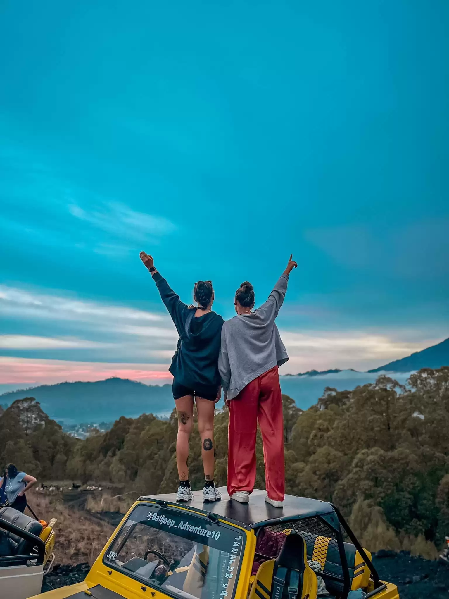
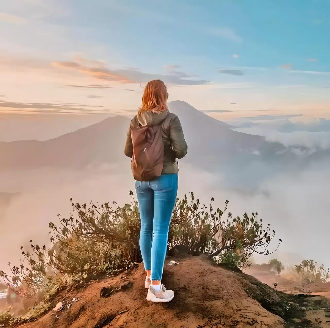
The most challenging part is often the final section, where the path is loose volcanic gravel that can feel slippery underfoot. At this point, the excitement builds as you get closer to the summit, knowing that your hard work is about to pay off. Once on top, you’ll likely be rewarded with a spectacular sunrise view over Mount Agung, Lake Batur, and even Mount Rinjani in Lombok if the sky is clear. It’s an incredible moment of calm, with clouds swirling beneath you and the island slowly waking up in golden light.
To make the most of the experience, it’s worth being prepared. Since you’ll be gaining around 600–670 metres in altitude, wear comfortable hiking shoes with good grip, bring warm layers to fight the pre-dawn chill, and carry some water and snacks for the journey. Experienced local guides are with you every step of the way—many of whom know the routes like the back of their hand—so you’ll never feel rushed or unsure, even if it’s your first-ever hike.
In short, the elevation gain from Mount Batur’s base camp to the summit is enough to feel like a real achievement, but not so much that it’s intimidating. It’s the perfect middle-ground for travellers looking for adventure without tackling something too extreme. So if you're wondering whether you can manage it—the answer for most reasonably fit travellers is a confident yes. And trust us, the sunrise views from 1,717 metres will make every step worth it.